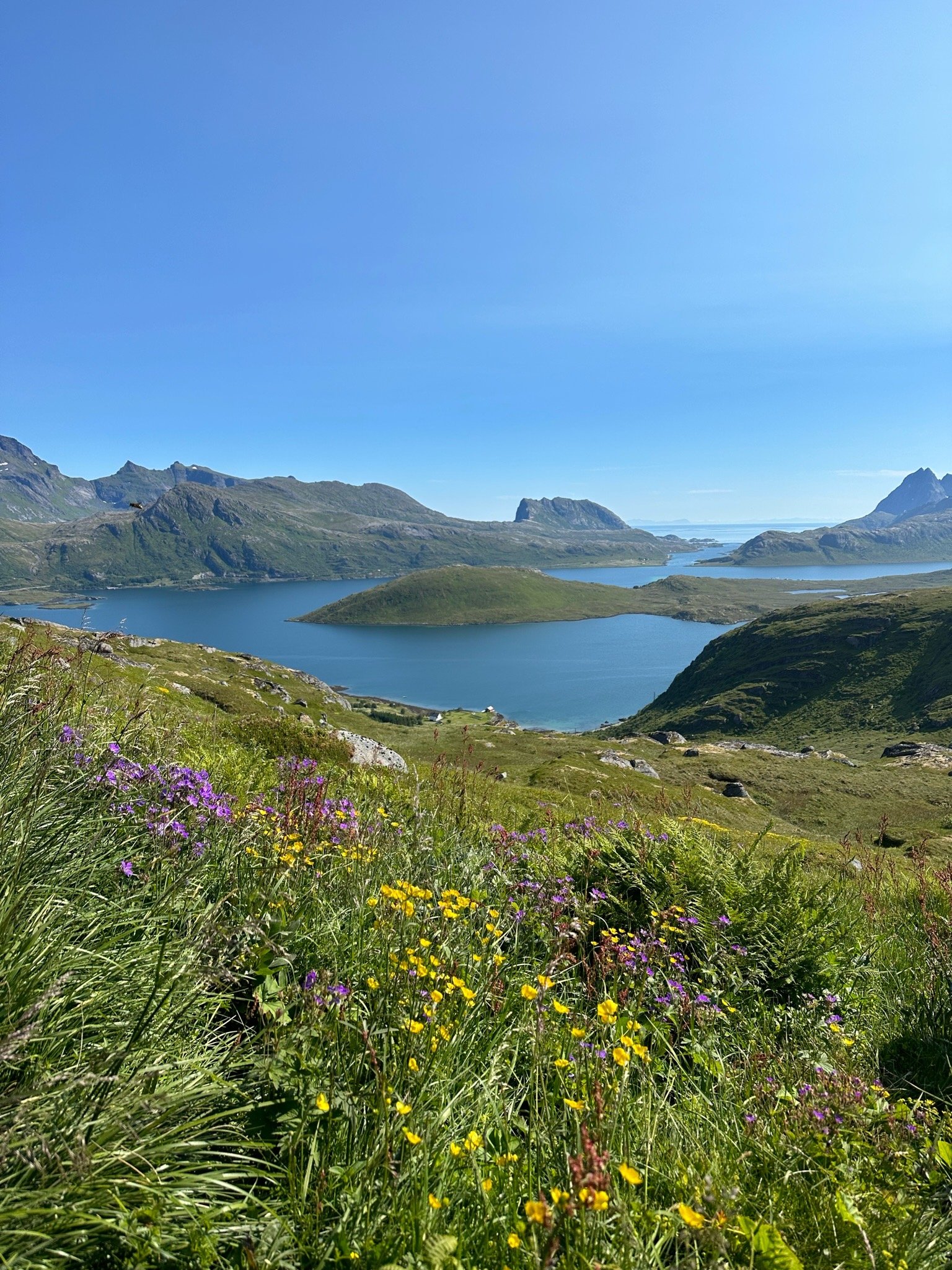
Ryten Hike + View of Kvalvika Beach: A Complete Guide
The Ryten hike in Norway offers an unforgettable adventure for nature enthusiasts and hikers alike. Located in the Lofoten Islands, this trail leads to a breathtaking viewpoint that overlooks the pristine beauty of Kvalvika Beach. With its rugged terrain and lush landscapes, the Ryten hike promises a captivating outdoor experience that showcases the natural splendor of Norway's northern region. Whether you're an avid hiker seeking a challenging ascent or simply looking for a serene escape, Ryten has something extraordinary to offer.
Ryten Hike: Quick Overview
Distance: 7.2 km (4.47 miles) round trip (distance may vary a bit depending on where you start)
Duration: 3-5 hours
Elevation: 543 m (1,781.5 feet)
Difficulty: Moderate
Where is Ryten Hike Located?
Ryten Hike is located in Norway’s Lofoten Islands, near the town of Fredvang.
Trailhead Information: Where to Park
There are a few different parking options for Ryten/Kvalvika Beach viewpoint hike, but these are the 2 main ones. I’d recommend parking in option 1 if you have the opportunity to.
Option 1: (Where I parked) This first option is closest to the trailhead which means if you want to hike the shortest distance, you’ll want to park here. Since this is the closest parking lot to the trailhead, it does fill up quickly. I’d recommend arriving early to ensure you secure a spot. There is one bathroom here and also a place to fill your water bottle. It costs NOK 100 to park here (both cash and credit card are accepted). If you type 'Innersand Parking' into Google Maps, that should take you to the right place. Here are the map coordinates just in case: 68.089056, 13.139774
Option 2: You will actually have to pass by this parking lot to get to option 1. It also costs NOK 100 to park here however, there’s no bathroom or drinking water available. This parking lot it titled 'Parking ryten trail' in Google Maps. These are the map coordinates: 68.090514, 13.156828
Hiking Map and Details
Here is an overview map of the hike. I labeled the 2 parking lots so you can see where they are located relative to the trailhead, beach, and viewpoint.
Hiking to the Viewpoint
The short walk from the parking lot to the official trailhead is rather flat, however, once you reach the trailhead, the incline starts to get somewhat aggressive. After hiking for quite some time, I took my first break and got to enjoy this view. The white arrow is pointing to where I parked (option 1).
There are several sections of the hike that you have to walk across these narrow bridges.
After a little while, the views start to get even better!
The Viewpoint
And finally the view we’ve all been waiting for!
There are several incredible photo spots but this one was by far my favorite.
Hiking Back to the Parking Lot
To get back to the parking lot, you hike down the same way you hiked up. There is also an option to hike down to the beach but I did not do that.
There’s a beautiful little pond along this hike which makes for a perfect spot to take a break.
Conclusion
Ryten hike is a true gem among Norway’s stunning landscapes. It's a journey that rewards your efforts with one of the most breathtaking views imaginable. If you ever find yourself in this corner of the world, don't miss the chance to embark on the Ryten hike – it's a bucket-list experience that will stay with you long after you've left the trail.


